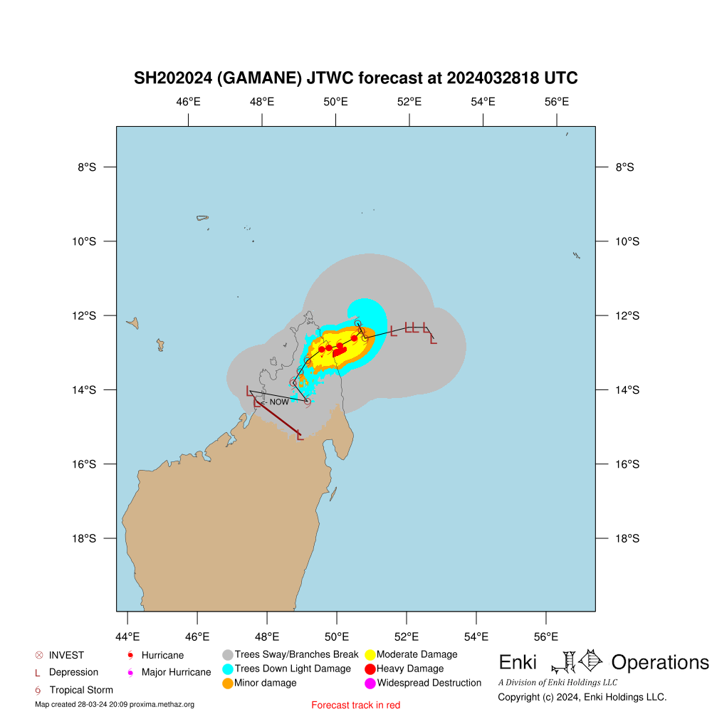
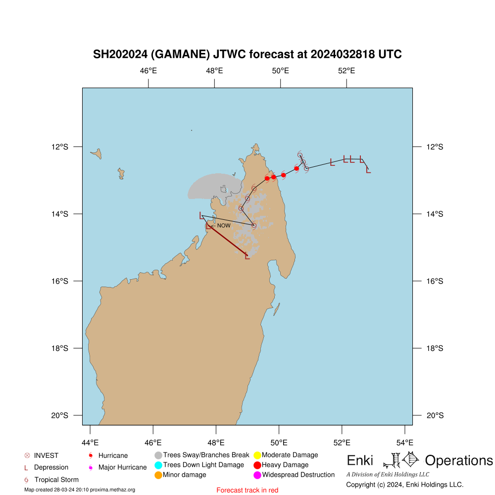
Official Forecast (or best model for invest) Overview
JTWC Forecast Consistency Evaluation
Forecast
Index
Consistency
Objective Model Dispersion Evaluation
Forecast
Index
Consistency
Forecast consistency is based on how much difference there is between this forecast and a previous forecast.
If the variation between the current forecast and the forecast made 24 hours previously is less than half of the average error, consistency is Excellent.
Between half and the average, Good, between the average and 1.5 times the average Fair,
and if over 1.5 times the average historical error consistency isconsidered Poor.
Note that consistency is different from accuracy, but accuracy can only be determined in hindsight.
A consistent forecast is more likely to be accurate than one that is jumping around, but it could be consistently wrong!
National Level Economic Impact Forecast
name
totloss
Madagascar
$ 19.76 Million USD
type
loss
Total Forecast Impact:
$ 19.76 Million USD
National Level Population Impact Forecast
country_name
pop_tswind
pop_huwind
pop_surge
Madagascar
943,363
92,422
name
pop_tswind
pop_huwind
pop_surge
Total:
943,363
92,422
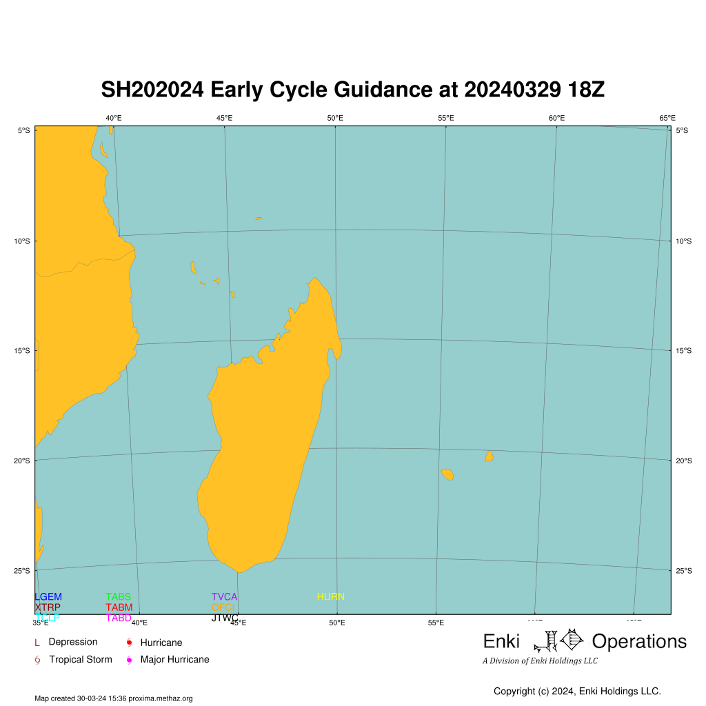
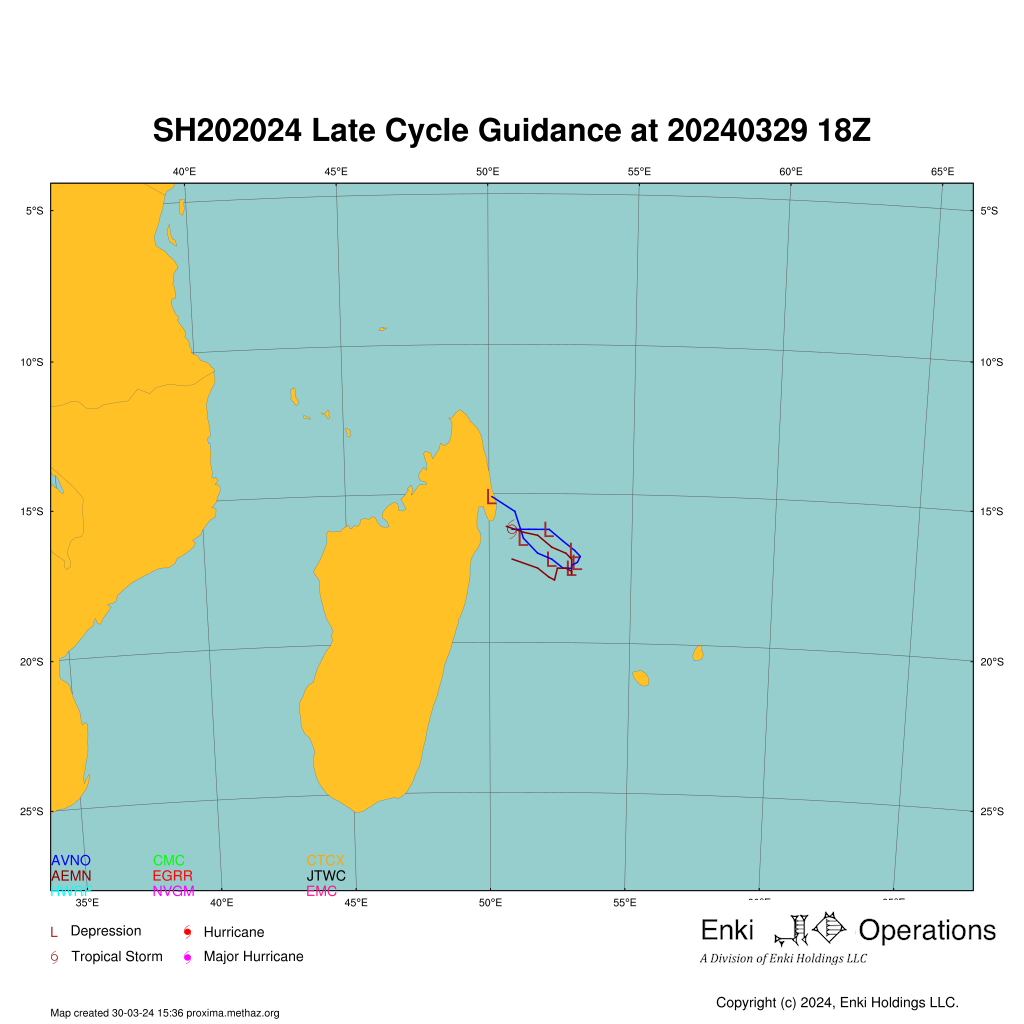
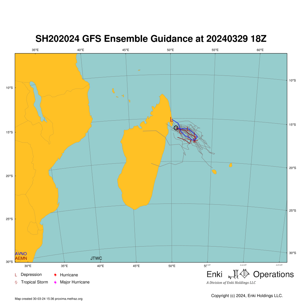
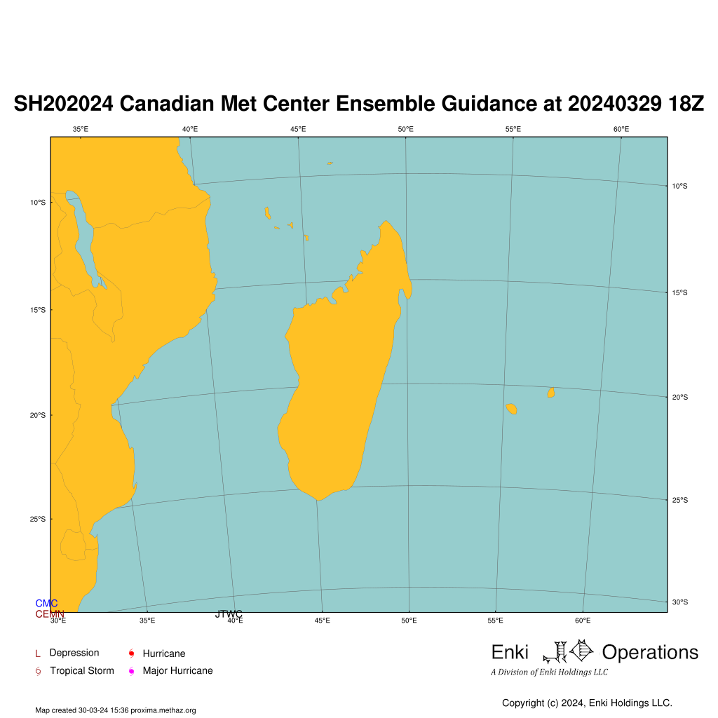
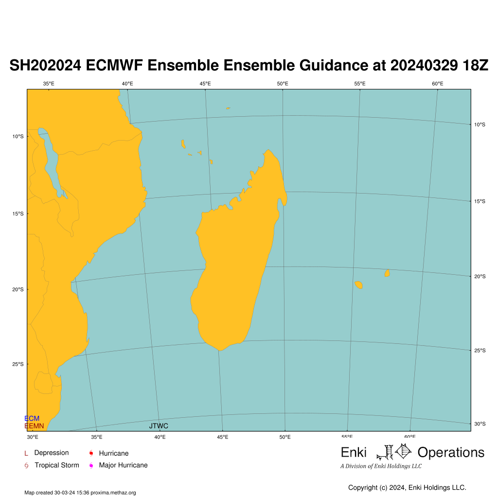
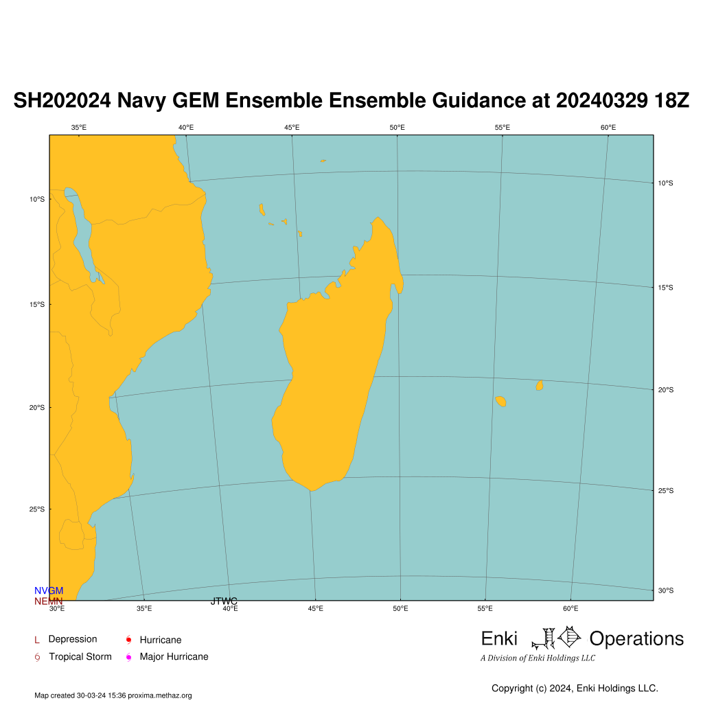
Forecast Tracks
Raw tropical cyclone models are usually called early or late. Early models are those that run in time to be included in the official forecasts.
Late models are more complex global models that take several hours to run, and the most recent run is not available for the forecaster to use in creating their products.
Up to four Ensemble Model outputs are shown (if available). The first is the US GFS model (AEMN). The second is from the Canadian Meteorological Center(CEMN). The third is the
European Center for Medium Range Forecasting model (EEMN), and the fourth the US Navy GEM model
The maps here update hourly, and are solely to give you an idea of the information and challenges facing the forecaster. The official forecast is what you should be basing your decisions on!
Model Performance Summary
tech
err012
err024
err048
err072
err096
err120
trend
AEMN
39
72
140
-1
-1
-1
INCREASING
AVNO
49
91
158
-1
-1
-1
INCREASING
CEMN
65
69
99
-1
-1
-1
INCREASING
CMC
42
52
77
-1
-1
-1
INCREASING
HURN
52
65
67
-1
-1
-1
INCREASING
JTWC
34
59
128
-1
-1
-1
INCREASING
(6 rows)
Notes:
Average error in nautical miles for this storm as of latest forecast model run. -1 means unavailable. Intensity Forecast Report generated by proxima.methaz.org at Thu 28 Mar 2024 20:09:44 UTC
Copyright(c) 2024 Enki Holdings, LLC. All Rights Reserved.